Inquiring Minds have asked: Why Leadville? How Many Mountain Passes? Will I overheat (How cold will it get?), etc.
To answer just one of those questions this issue, it is possible to arrive in Leadville by 190SL (or any other land-based conveyance) without crossing any mountain passes. But, before we go there, let me start in the states east of Colorado. Both Kansas and Nebraska offer good 190SL roads to deliver you to Colorado. I am much more familiar with Nebraska as I have been traveling between northern Illinois and Denver many times each and every year since 1966.
|
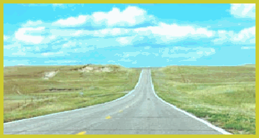
When the Feds imposed the ridiculous 55 mph national speed limit, I specifically avoided the Interstates and spent much time on US 30 (the Lincoln Highway), US 6, US 34, US 136 and US 36 through Kansas and Nebraska. The bottom line on Kansas is that the good east-west roads do not run through the center of towns, but just off the edge of the town. Not as true in Nebraska, but west of Lincoln, the towns are well spaced and won’t take long to drive through. Please notice the transition zones you pass through as you leave Iowa and Missouri (the deciduous forests) to eastern and central Nebraska and Kansas (the tallgrass prairie) on to western Nebraska and Kansas (the shortgrass prairie) and, if you are in northeastern Colorado and western Nebraska (the sandhill country). Not too surprisingly, these transition zones are largely a result of how much rain falls in each area.
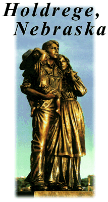 |
Far and away the prettiest road between Interstates 80 and 70 is US 6/34 along the Republican River west of Holdredge. I really like the area around Benkelman. Also nice is US 136 in eastern Nebraska. In Kansas, there is a fork at Dodge City. US 50 (the Chisholm Trail) follows the Arkansas River all the way to Leadville. Pretty and historical, look for the Carnegie Libraries. US 160 enters a surprising area of the plains now known as the Commanche National Grasslands, a sparsely wooded, rolling land cut with the occasional canyon. Look closely near the historical markers and you can see the ruts of the Santa Fe Trail. US 287/385 enters this same country from the panhandles of Oklahoma and Texas. (From I-70 MAP I and II)
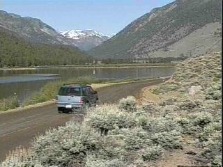
To get to Leadville without crossing any mountain passes you will, surprise, follow a riverbed. I would have said a river, (Overview MAP) but if you follow this river from the Kansas border, there is likely to be no water in it at the Kansas border. This river is the mighty Arkansas, the subject of a major water dispute between the two states recently decided in Kansas’ favor because of said lack of water caused by Colorado irrigators. Other than the Arkansas itself, there are no roads that run along rivers to take you to US 50 which is the road you will need to find to get to Leadville without crossing any mountain passes. Cross the eastern plains of Colorado. They will seem very dry and flat. Pay attention, though, when you cross the washes and drainages, and try to pick routes that cross as many as possible. See if the names work: Arikaree, Big Sandy, Smoky Hill, Rush, Adobe, etc. This is the land of huge afternoon thunderstorms (sometimes hail) and the occasional tornado. Time your trip right and you can watch them build all afternoon. The tops of the largest thunderheads will sometimes go as high as 50-60,000 feet, the sky will turn black, and you can watch the rain, preferably, over there. Or it might rain on you; wait an hour or so and the sun will come out and dry things out.
You will need to cross Interstate 25 somewhere to get on US 50. You can do so at Colorado Springs, Pueblo or Walsenberg. Go through Colorado Springs and go southwest on Colorado 115.
 |
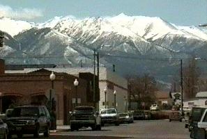
Continue west of US 50 to Salida, find the turnoff to Colorado 291 and stay by the river until 291 junctions with US 285.
 |